Our Legacy:
Founded in California in 1998 as CIVILAND ENGINEERS California by Mr. M Adolfo Espino, P.E. (retired), and Mr. Hugo Acu - QPSWPPP & QCISP - Project Manager, Sunland and Associates has grown from its roots in Civil Engineering, Soils, and Land Surveying. In 2004, we expanded into Arizona, adopting the name Sunland and Associates. Following Mr. Espino's retirement in 2020, Mr. Acu has been steering the company as Principal Operation Manager, with Mr. Bruce H. Bosshard, P.E., as the Principal Engineer, bringing his extensive background from the U.S. Naval Nuclear Submarine Commander and extensive senior management in fortune 500 engineering firms specializing in Civil, Structural, and Nuclear Engineering.
Our Team:
Mr. Bruce H. Bosshard, P.E.: A registered Civil Engineer in California, Arizona and Nevada, with a robust 35-year career in nuclear, mechanical, and civil engineering, Mr. Bosshard oversees all engineering aspects, ensuring precision and innovation in every project.
Mr. Hugo Acu: A seasoned professional with over 40 years in Civil Engineering Design and field surveying. Mr. Acu is currently advancing his credentials to become a Professional Land Surveyor in Arizona. Certified as QPSWPPP ADVANCE and QCIS, he specializes in Street & Highway design, hydrology, hydraulics, stormwater management, grading and drainage design, utilities sewer and water design. He is continuously guiding and training emerging professionals in the civil engineering field.
Mrs. Maggie acu: She worked for various multimillion firms in the garment industry in California as production manager. Her last position in this industry was as an assistant to the president of the company. She was in charged of distribution and production throughout the U.S. and other countries. She also managed other office personnel within the company and outside manufacturers.
After Mr. Acu relocation to Arizona Mrs. Acu continue working as consultant and travel to California several times to managed production and coordination. In 2006 she completely left the garment industry and join Mr. Acu to managed the every day operation of Sunland and Associates. She also began to work with the surveying field along Mr. Acu and learned how to operate and maintained surveying equipment. Though the years she learned the main aspects of land surveying and began to learn Land Desktop Surveying computer software and later Civil 3D. Ultimately she became a land surveying technician and began to produce maps from field data provided by the field crews. She also became a civil 3D computer operator and began to produce civil engineering plans with the direction of Mr. Acu. She has trained several individuals pursuing field surveying expertise and CAD operators for the development of Civil and Land Survey plans and maps. Mrs. Acu is been working in the land surveying and civil engineering as a technician for the past 19 years. She is currently the office manager for the company.
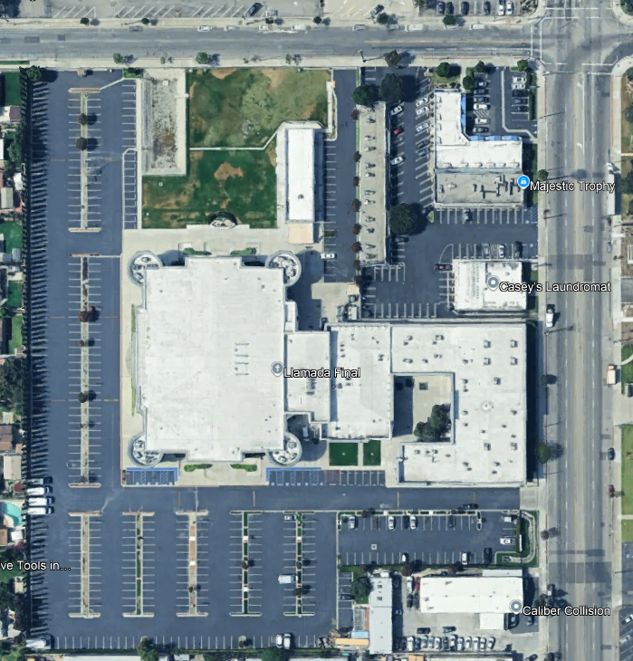
Sunland and Associates have prepared numerous civil engineering designs to include rough and precise grading and drainage plans for large and small projects. Street and Highway design for private and governmental agencies, such as Arizona Department of Transportation (ADOT) and California Transportation(CALTRANS) and other local municipalities. Hydrology and Hydraulic studies, geotechnical soil loading reports, percolation reports for septic design septic tank permit and construction.
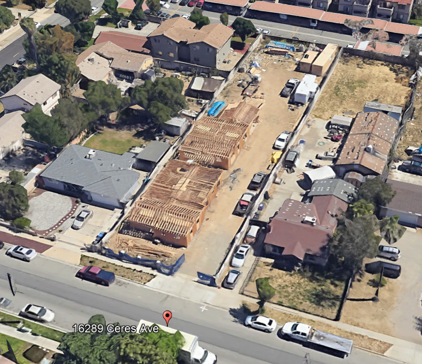
Sunland and Associates have prepared numerous structural plans and calculation in California and Arizona. We can provide your organization with structural calculation for new building design to include main frame and foundation design, as well as retaining wall design and structural calculations. New RV and home additions . Our services includes special inspection of structural integrity for foundations integrity and determination of structural displacement of existing buildings.
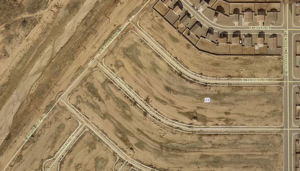
We have conducted land use planning and managing to ensure efficient and ethical development while preventing conflicts and promoting desirable social and environmental outcomes. Our land planning involves a systematic assessment of land, water and sewer potential, alternatives for land use, and economic and social conditions to select the best land use options. All land planning is done within the governments use land use planning to manage development in their jurisdictions, planning for community needs while safeguading natural resources.
Our team of field and office surveyors have over 40 years in land surveying operations in three States to include Arizona, California and Nevada. Our land surveying services includes, Topographic Surveys, Boundary Surveys, Construction Staking, Tract Maps, Parcel Maps, Record of Surveys, Legal Descriptions, Lot line Adjustments, Lot Merger, Mobile Home Subdivisions & Park Design, RV Park Planning and Design, Aerial Survey Control Panels, Aerial Survey using fix wing aircraft.

Sunland and Associates have completed several hydrology studies for large and small water sheds. Typically we use hydrology to determine how much rain water will impact a project site. Hydrology information is use by our engineers to design roads and streets to minimize flooding on travel ways. Hydrology is also used to size pipes, channels, washes and retention and detention basins for on-site development.

QWSPPP
SUNLAND AND ASSOCIATES:
º CIVIL ENGINEERING
Grading and Drainage plans
Road and Street & Profile Plans
Water, Sewer and Pump Station Design
Infiltration and Percolation Field test and Report
Construction of Septic Tanks and Water Retention Basin
Hydrology tributary areas off-site and on-site
Hydraulics of Pipes, Channels, retention and detention basins
Storm Water
° STRUCTURAL ENGINEERING
Full Building Structural analysis and structural details
Structural walls to support structure above wall
Retaining Wall Design
Shoring Design of Cuts or deep trenches
Pile and Grade Beam Design for Hill areas
Special Structural Observation of Special Structural Elements
° LAND SURVEY
Topographic surveys
Boundary Surveys
Subdivision - Tract and Parcel Maps
ALTA Maps
Record of Survey
Lot Line Adjustment
Lot Merger
Construction Staking
Aerial Surveys and Target Control
Condominium - Townhome Conversion
Sunland and Associates utilizes the latest computer technologies to produce professional plans and Maps. We use Civil 3D to draft all our plans. Our field crews use high precision GPS Station and Rover as well
as other GPS system to gather precise ground location using several satellites and GNSS solutions. RTK and Static Surveys for horizontal and vertical control are the two method used when conducting surveys. Robotic total stations are used when precision of long roads or large building is require.
Our civil engineers use other technologies to aid in the analysis of large off-site drainage areas, as well as local agencies using their own methods to determine watersheds. we are very familiar with Mohave County hydrology software (DDMSW) and other Municipalities and Counties in California and Arizona. Hydraulic Software are also used by our engineers to aid in the design of sewer, water, storm drain design and retention or detention basins.